Sidney Draw
draw: trace or produce a line or mark; pull or guide; extract
draw: a natural ditch or drain; a shallow valley
Last year I drove from Lincoln (Section 52 in my grid) to Scottsbluff (Section 37) to give a workshop as part of Picturing Nebraska.
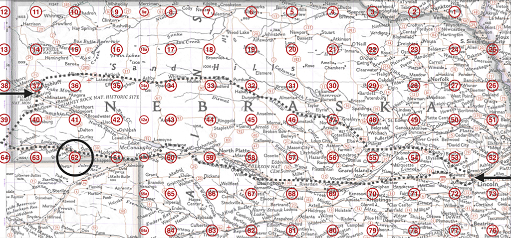
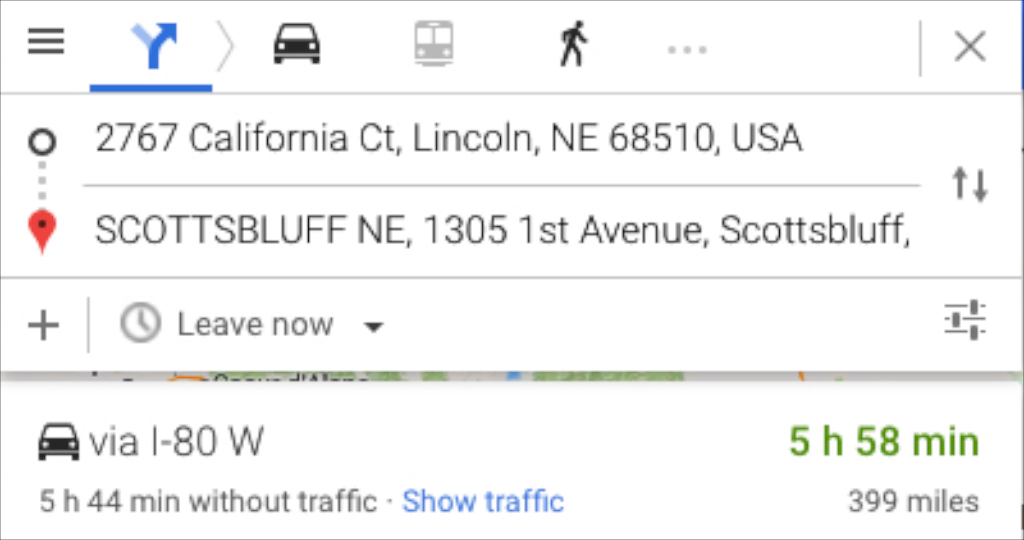
As usual, I took the long way round—3 days and 629 miles.
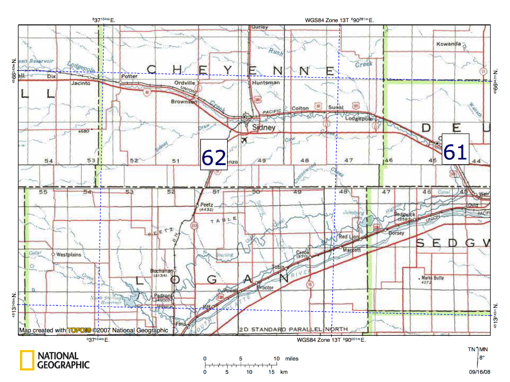
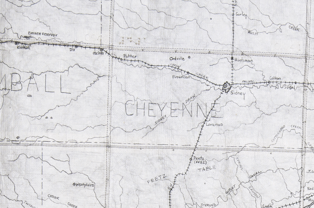
Leaving Sidney (Section 62) for Kimball and going west on Hwy 30, I saw Sidney Draw on the map. Having drawn Sidney Draw I decided to explore it.
Here’s the topo map I used to draw Section 62. It shows a 33-mile square:
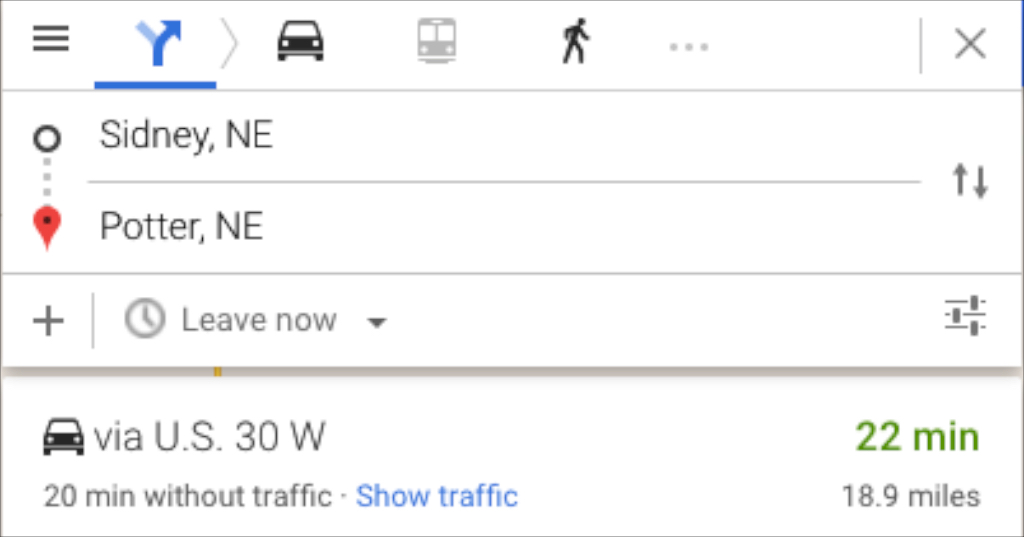
I drove south on Hwy 19 to Lorenzo and then made my way west on the county roads. I rejoined Hwy 30 at Potter, at the west edge of Section 62. My detour took two and one-half hours to travel 19 miles west.
Here’s what I had drawn:
Here’s what I saw:
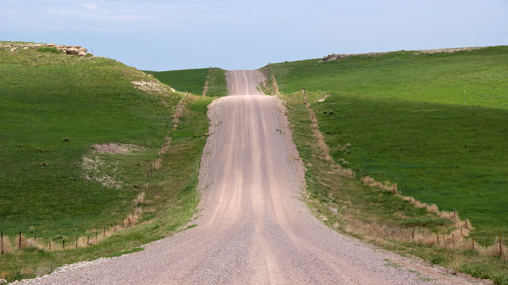
What is it about these contours that soothes me?
I love the promise of each hill.
I love the way the grid of county roads breaks to yield to the terrain.
This landscape is tenacious. Its history (rock, sand, grass, fence) consoles me.
This tenacity, consolation and promise is part of what I want to carry in the wrapping I call Prairie Skin.
Landscape is history made visible. (John Brinkerhoff Jackson)
A dream of tenderness
wrestles with all I know of history. (Adrienne Rich)